SERVICES
Use of Geo-Informatics in Farm Planning
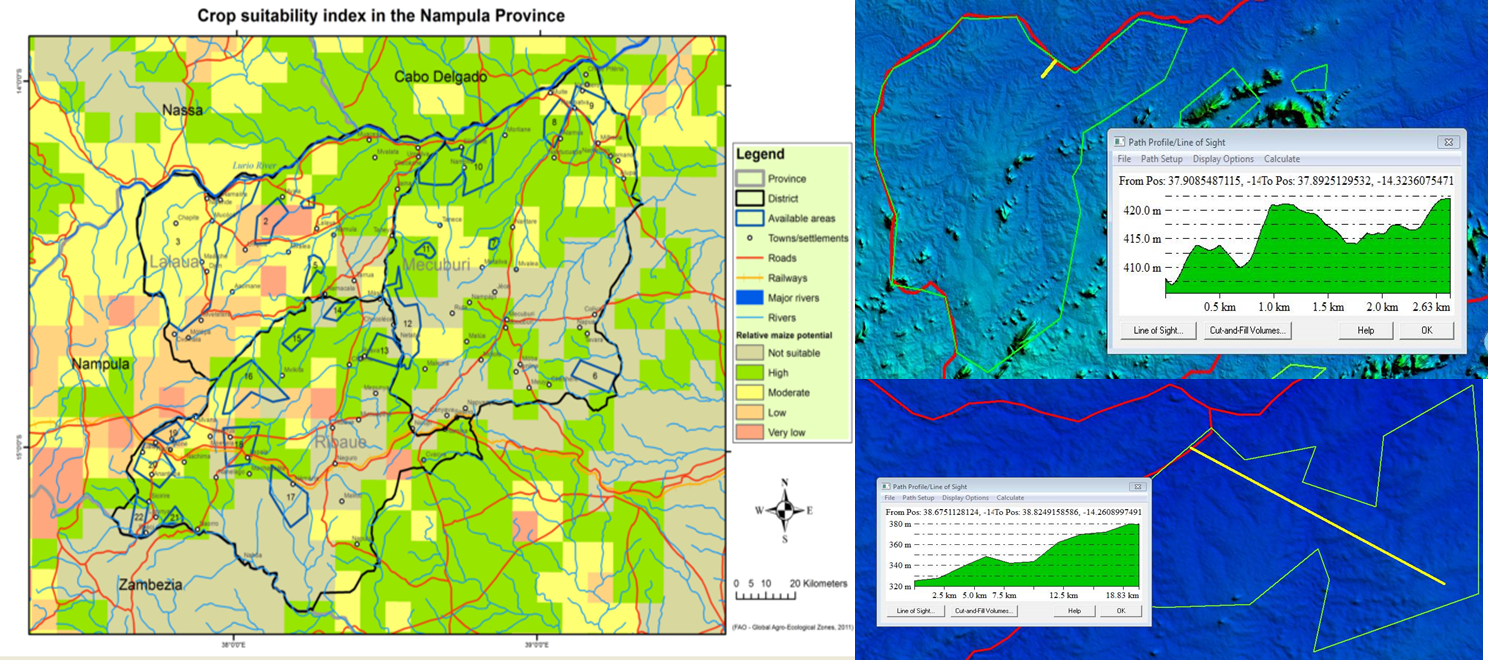
- Provision of affordable user-friendly GIS software to integrate, view and analyse all geo-informatic data
- Training and support towards the use of GIS software
- Supply and acquisition of all relevant spatial data and information
- Mapping of farm infrastructure from high resolution imagery
- Vegetation (type, condition and grazing capacity, irrigation scheduling, damage by pest and diseases)
- Soil (processing of soil analytical data - interpolation and maps)
- Market analysis (distance to markets, transport and storage infrastructure)
- Integration of climatic data (evaluate crop suitability/requirements)
- Existing degradation (erosion, alien invasive plants)
- Sustainable land management practices (extract relevant/appropriate information from existing databases e.g. WOCAT database)
- Yield data (process and integrate combine harvester data)